بالاعتماد الكلي على برنامج ArcGIS Pro تُجهزك دورة المهارات الأساسية الشاملة في نظم المعلومات الجغرافية (GIS) بالمعرفة الأساسية والمهارات العملية لإدارة بياناتك الجغرافية وتحليلها بشكل فعال. من خلال مزيج من النظرية والتدريبات العملية، ستكتسب كفاءة في وظائف GIS الأساسية المستخدمة في مختلف التخصصات. تتناول الدورة المهام الأساسية مثل العمل مع قواعد البيانات المكانية وإنشاء العلاقات والربط وتصميم الأنواع الفرعية والمجالات. ستستكشف تقنيات معالجة البيانات المتقدمة وأتمتة أدوات التحليل وإجراءات مراقبة الجودة. بالإضافة إلى ذلك، ستتعلم تحليل بيانات ثنائية الأبعاد وثلاثية الأبعاد وتفسير النتائج وعرضها بشكل فعال باستخدام الت visualات والتقارير. بحلول نهاية الدورة، ستكون مجهزًا بشكل جيد للتعامل مع بياناتك المكانية وتحليلها ومشاركتها بثقة، مما يفتح المجال لاستخلاص رؤى قيمة لاتخاذ قرارات مستنيرة.
محاور الدورة
العمل مع قواعد البيانات المكانية
إجراء عمليات تحرير متقدمة
إدارة مرفقات قواعد البيانات المكانية
إنشاء العلاقات والربط
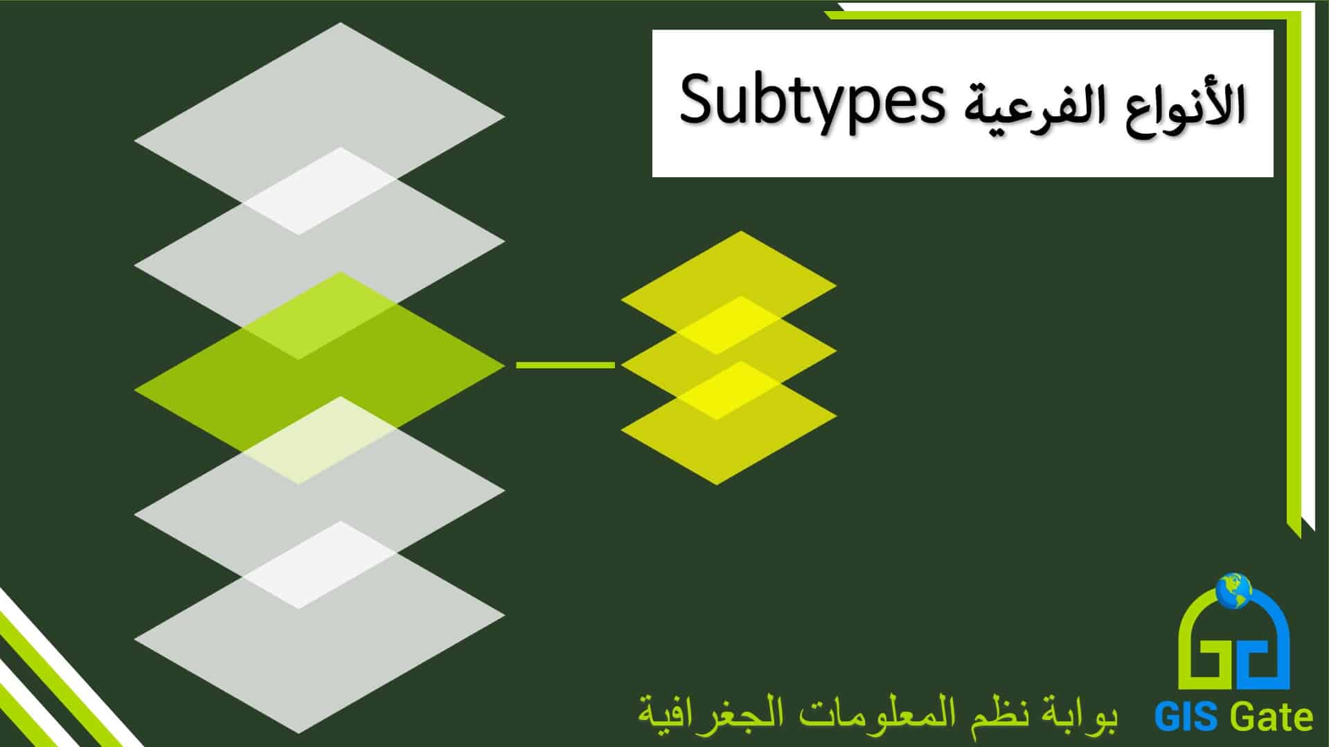
تصميم الأنواع الفرعية والمجالات
تطبيق عمليات التحرير المتقدمة للبيانات
العمل مع الطوبولوجيا
تحويل أنواع مختلفة من البيانات
الاستفادة من مُنشئ النماذج (ArcGIS Model Builder)
إنشاء تكرارات أدوات المعالجة المكانية
تشغيل المعالجة المجمعة
تطبيق طرق مختلفة لتنظيف البيانات
تحليل بيانات ثنائية الأبعاد وثلاثية الأبعاد
تطبيق نهج مراقبة الجودة وضمان الجودة (QC/QA)
إثراء تقاريرك بنتائج التحليل والرسومات الإحصائية
مشاركة البيانات في صيغ مختلفة
الفئة المستهدفة
هذه الدورة مصممة للأفراد الذين لديهم فهم أساسي لنظم المعلومات الجغرافية (GIS) ويريدون تطوير المهارات الأساسية اللازمة للتفوق في أي مشروع GIS
متطلبات الدورة
• فهم أساسي لمفاهيم نظم المعلومات الجغرافية (GIS) • معرفة ببرنامج ArcGIS Pro 3.0 أو إصدار أحدث
مخرجات الدورة
• فهم هيكلية ووظائف قواعد البيانات الجغرافية وإدارتها بفعالية. • إنشاء تصنيفات بيانات منظمة لتعزيز سلامة البيانات وسهولة استخدامها. • تنظيف وتحرير وتحويل البيانات المكانية لضمان الدقة والموثوقية. • فهم وتطبيق القواعد الطوبولوجية للحفاظ على سلامة البيانات. • تحويل البيانات إلى تنسيقات مختلفة لتلبية احتياجات التحليل المختلفة. • أتمتة مهام المعالجة الجغرافية لتبسيط سير العمل وزيادة الكفاءة. • تنفيذ المهام المتكررة تلقائيًا لتوفير الوقت وتقليل الأخطاء. • استخدام تقنيات متقدمة لضمان جودة واتساق البيانات. • استخراج وتفسير الأفكار القيمة من مجموعات البيانات ثنائية وثلاثية الأبعاد. • تنفيذ إجراءات ضبط الجودة لضمان صحة وموثوقية نتائج التحليل. • إنشاء تصورات وتقارير جذابة تنقل النتائج بفعالية. • توزيع البيانات المكانية بتنسيقات مختلفة لتسهيل التعاون وزيادة الوصول.
المدة بالساعات
15 ساعة تدريبية
المدة بالأيام
5 أيام (الأحد الى الخميس)
About the Course
Utilizing ArcGIS Pro, This comprehensive Essential GIS Skills course equips you with the foundational knowledge and practical skills to manage and analyze your spatial data effectively. Through a blend of theory and hands-on exercises, you’ll gain proficiency in core GIS functionalities used across various disciplines. The course delves into essential tasks like working with geodatabases, creating joins and relationships, and designing subtypes and domains. You’ll explore advanced data manipulation techniques, geoprocessing automation, and quality control procedures. Additionally, you’ll learn to analyze 2D and 3D data, interpret results, and present them effectively with visualizations and reports. By the end of the course, you’ll be well-equipped to confidently manipulate, analyze, and share your spatial data, unlocking valuable insights for informed decision-making.
Topics
Work with Geodatabases
Perform advanced edits
Manage geodatabase attachments
Create Joins and Relationships
Design Subtypes and Domains
Apply Advanced Data Edits
Work with Topology
Convert Various Data Types
Utilize ArcGIS Model Builder
Create Geoprocessing Iterations
Run Batch Processing
Apply Different Data Cleaning Methods
Analyze 2D and 3D Data
Apply Quality Control and Quality Assurance Approaches
Enrich Your Reports with Analysis Results and Statistical Graphs
Share Data in Different Formats
Target Group
This course is designed for individuals with a basic understanding of GIS who want to develop the essential skills needed to excel in any GIS project.
Prerequisites
Basic understanding of GIS concepts
Familiarity with ArcGIS Pro 3.0+
Course Outcomes
• Understand the structure and functionality of geodatabases and manage them effectively. • Create structured data classifications to enhance data integrity and ease of use. • Clean, edit, and transform spatial data to ensure accuracy and reliability. • Understand and apply topological rules to maintain data integrity. • Transform data into different formats to suit various analysis needs. • Automate geoprocessing tasks to streamline workflows and increase efficiency. • Perform repetitive tasks automatically to save time and reduce errors. • Use advanced techniques to ensure data quality and consistency. • Extract and interpret valuable insights from both two-dimensional and three-dimensional datasets. • Implement QC/QA procedures to ensure the validity and reliability of analysis results. • Create compelling visualizations and reports that effectively communicate findings. • Distribute spatial data in different formats to facilitate collaboration and broader accessibility.
Duration
15 Hours
Schedule
5 Days | Sun -> Thu
بعد التسجيل في الدورة سيتم التواصل مع المتدرب وإدراجه ضمن مجموعة واتس اب ليتمكن من طرح الأسئلة والاستفسارات
Upon registering for this course, the trainee will be contacted and enrolled in a Whatsapp group where he can drop inquiries