هذه الدورة تمثل مدخلاً نظرياً وعملياً الى نظم المعلومات الجغرافية حيث تم تصميمها لترسيخ المفاهيم النظرية للمتدرب مع التركيز على الجانب العملي. تم إعداد محتويات الدورة بحيث تناسب المتدربين من جميع التخصصات وتزودهم بالمهارات اللازمة لاستخدام برنامج ArcGIS Pro في التعامل مع البيانات المكانية والخروج بنتائج تساعد في عملية اتخاذ القرار.
بعد كل درس نظري يتم تطبيق المفاهيم المشروحة بشكل عملي لضمان حصول الدارس على أقصى استفادة. علاوة على ذلك، توجد العديد من التحديات والتمارين التي ستثري التجربة التعليمية للمتدرب.
تندرج هذه الدورة ضمن سلسلة مكونة من ثلاث دورات تدريبية تعد الدارس لتحصيل شهادة ازري GIS Fundamentals Foundation
محاور الدورة
مقدمة الى نظم المعلومات الجغرافية
مدخل الى برنامج ArcGIS Pro
نظم الاحداثيات ومساقط الخرائط
انشاء الطبقات ورسم الخرائط
التعامل مع البيانات الوصفية والاحصائيات
الاستعلام والتحديد
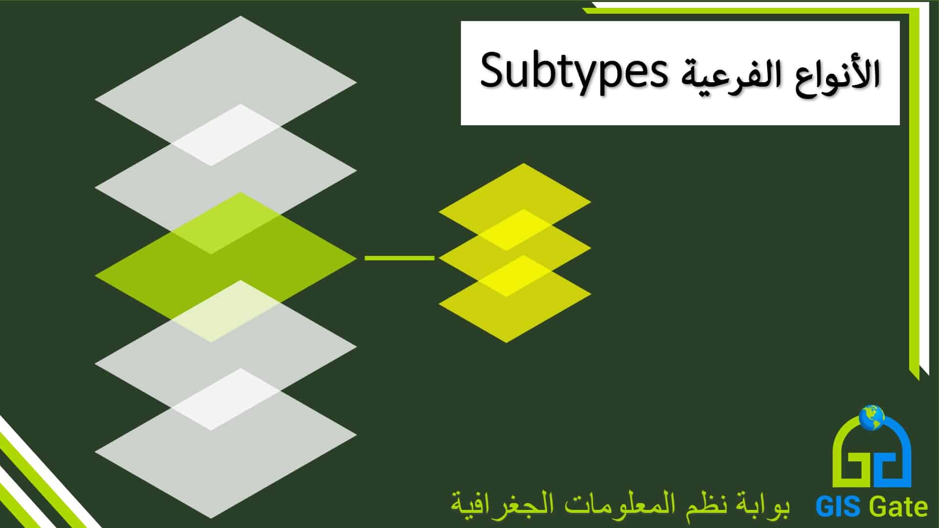
التعامل مع خصائص الطبقات
النمذجة ثلاثية الأبعاد
الترميز
تسمية المعالم
تصميم الخرائط
الفئة المستهدفة
الدورة مخصصة لمن ليس لديهم سابق معرفة بنظم المعلومات الجغرافية ويرغبون في تعلمها اعتماداً على برنامج ArcGIS Pro
متطلبات الدورة
الالمام بأساسيات التعامل مع الحاسب الآلي
برنامج ArcGIS Pro 3.0+ منصب وفعال
مخرجات الدورة
عند اكمال المتدرب لهذه الدورة سيكون قادراً على:
التعامل بسلاسة مع برنامج ArcGIS Pro
التعامل مع نظم الاحداثيات المختلفة
التعامل مع خرائط الأساس
انشاء وإدارة البيانات المكانية
إضافة، تحديث وحساب البيانات الوصفية
إجراء مختلف أنواع الاستعلامات على البيانات
تصفح البيانات بشكل ثنائي وثلاثي الأبعاد
التحكم في نصوص الخريطة
عمل عدد من التصاميم الأساسية للخرائط
المدة بالساعات
15 ساعة تدريبية
المدة بالأيام
5 أيام
About the Course
This course represents a theoretical and practical introduction to GIS, as it is designed to consolidate the theoretical concepts of the trainee with a focus on the practical side. The contents of the course have been prepared to suit trainees of all disciplines and provide them with the necessary skills to use ArcGIS Pro in dealing with spatial data and producing results that help in the decision-making process.
After each theoretical lesson, the concepts explained are applied practically to ensure that the learner gets the maximum benefit. In addition, there are many challenges and exercises that will enrich the trainee’s learning experience. This course is part of a series of three training courses that prepare the learner to obtain ESRI GIS Fundamentals Foundation Certificate
Topics
Introduction to GIS
Getting Started with ArcGIS Pro
Coordinate Systems and Map Projection
GIS Layers Creation & Editing
Tabular Data & statistics
Selection and Queries
Layer properties Manipulation
3D Visualization
Symbology
Labeling
Map Layout Design
Target Group
The course is intended for those who have no previous knowledge of geographic information systems and wish to learn it based on ArcGIS Pro
Prerequisites
Familiarity with computer
ArcGIS Pro 3.0+ installed and activated
Course Outcomes
Upon completion of this course, the trainee will be able to:
Work seamlessly with ArcGIS Pro
Dealing with different coordinate systems
Working with basemaps
Create and manage spatial data
Add, update and calculate metadata
Perform various types of queries on the data
Browse data in 2D and 3D
Map text control
Apply basic map design
Duration
15 Hours
Schedule
5 Days
بعد التسجيل في الدورة سيتم التواصل مع المتدرب وإدراجه ضمن مجموعة واتس اب ليتمكن من طرح الأسئلة والاستفسارات
Upon registering for this course, the trainee will be contacted and enrolled in a Whatsapp group where he can drop inquiries
At the end of the course, the trainee will receive a certificate from GIS Gate